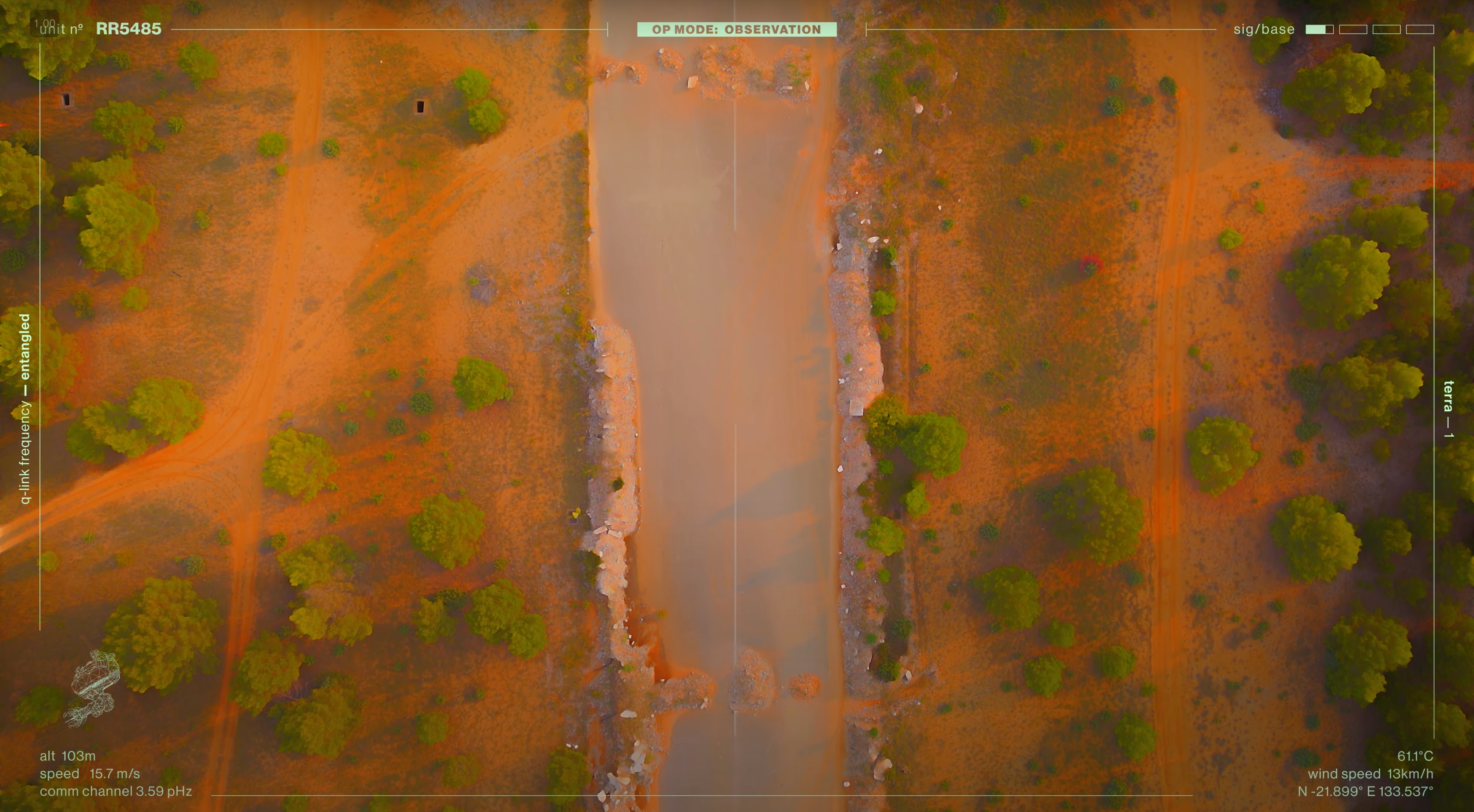
Terrain Observation
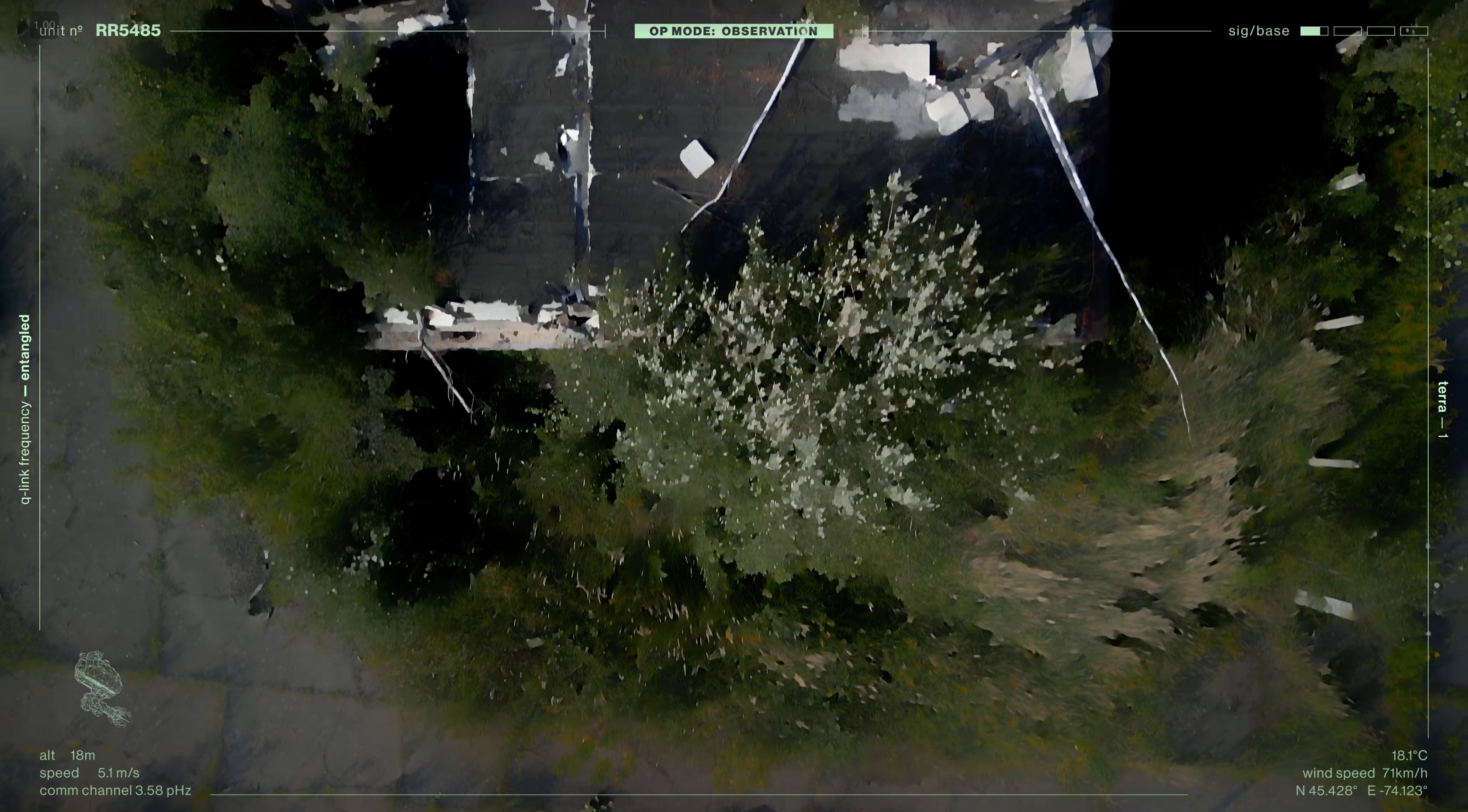
Wide-area scanning for roads, routes, and shifting terrain conditions.
Motion Picture AI Software
An all-in-one AI film system for autonomous aerial capture, environmental analysis, and cinematic scene generation from a single prompt.
About
R9A1V25 interprets landscapes, infrastructure, coastlines, and construction sites through aerial footage, then turns that source material into structured film sequences.
The system is designed around one clear workflow: prompt the objective, capture the environment, analyze the footage, and generate usable motion picture output.
Capture Modes
Wide-area scanning for roads, routes, and shifting terrain conditions.
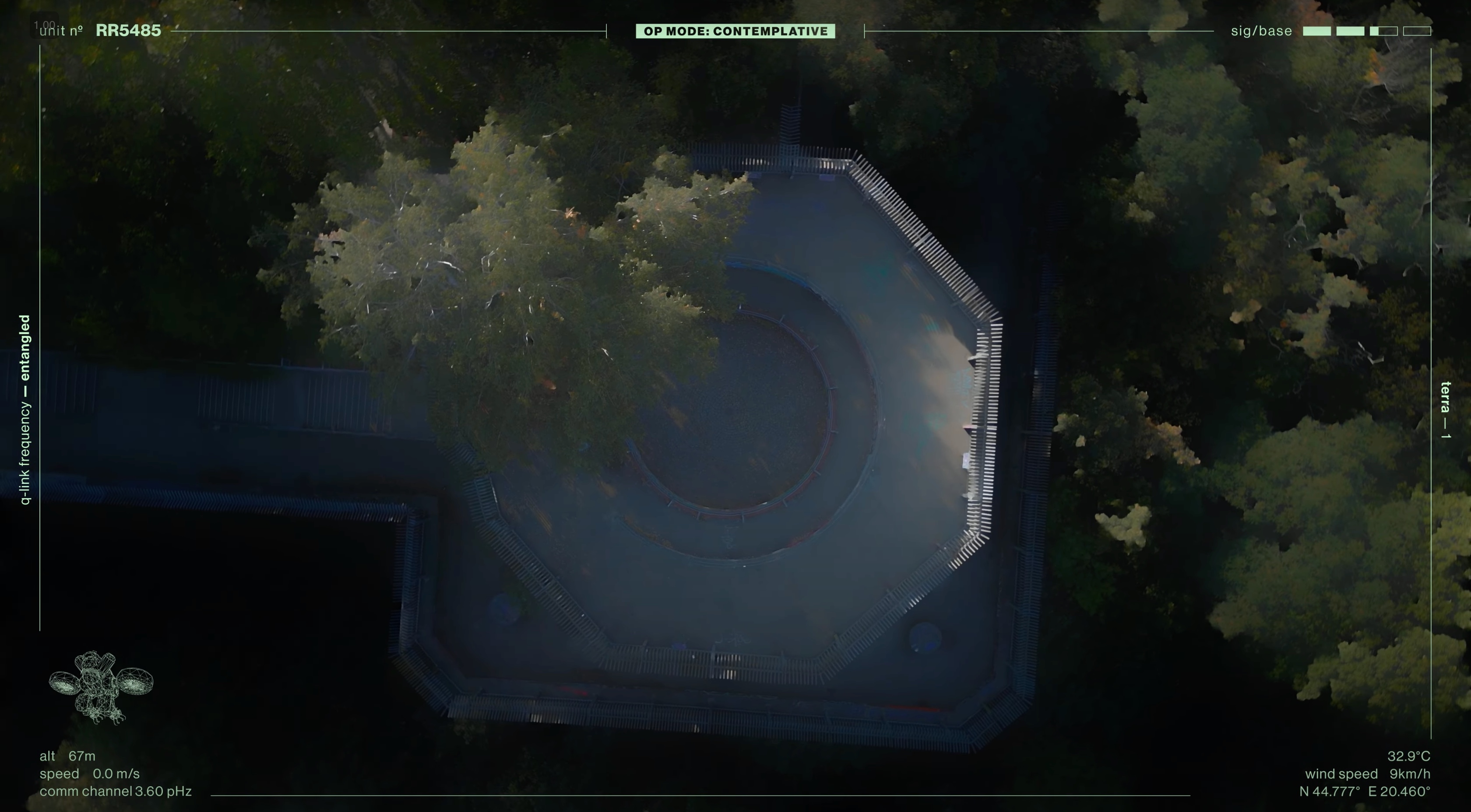
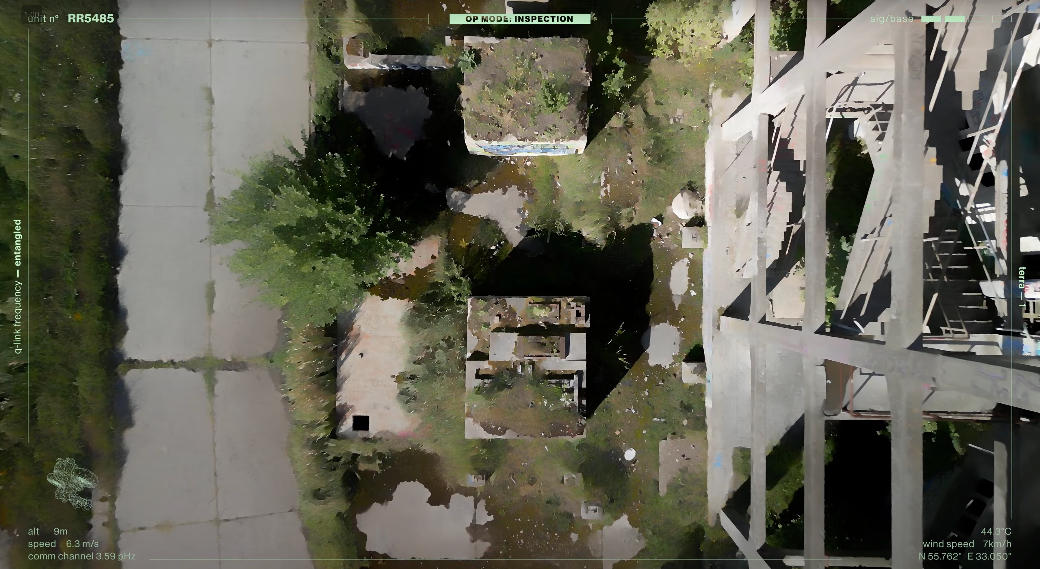
Autonomous area mapping for difficult or low-access environments.
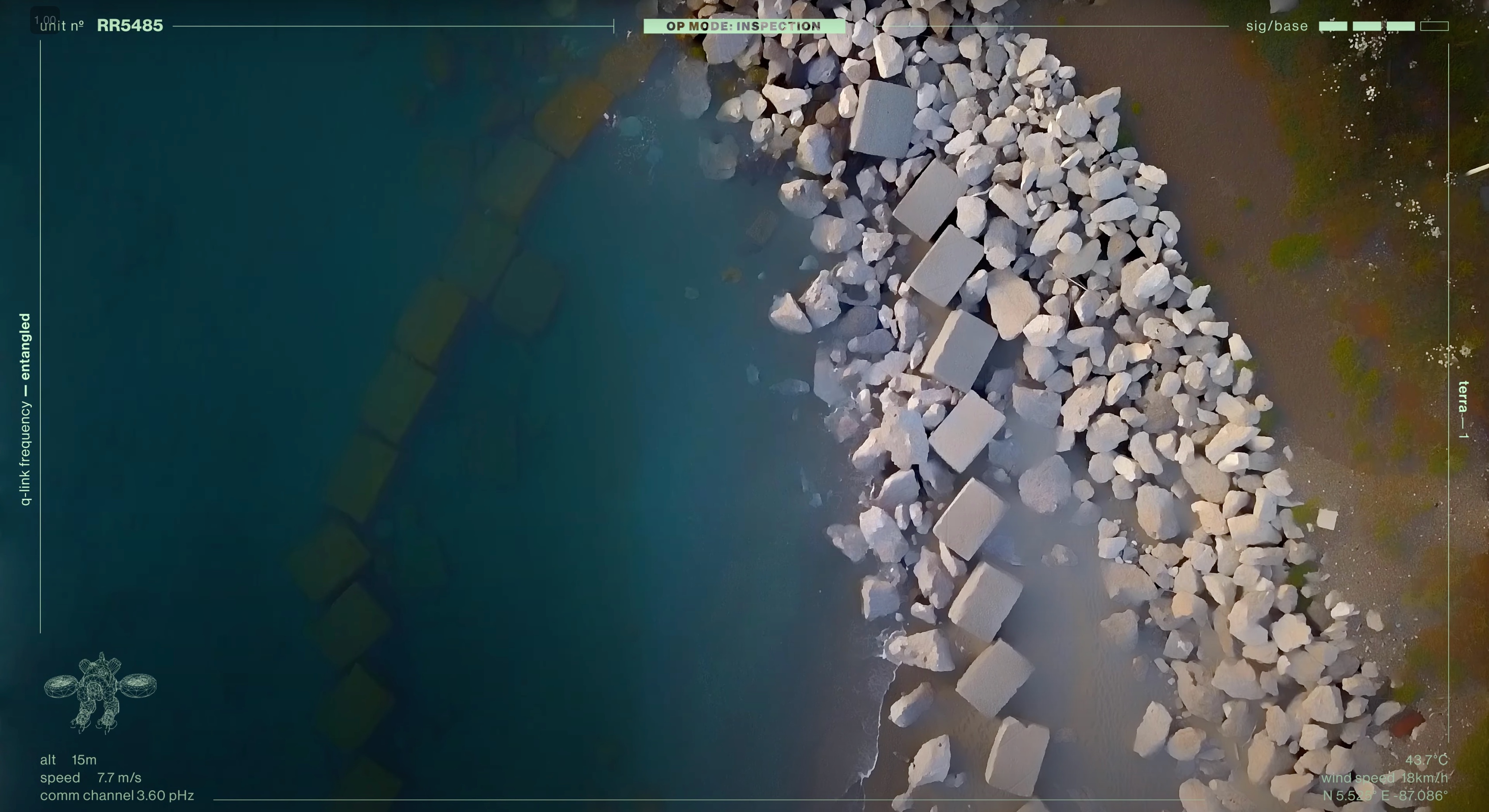
Detailed shoreline monitoring with high-resolution aerial passes.
Technical Overview
Advanced machine-learning routines read the environment, identify useful footage, and adapt flight behavior to capture usable angles with minimal manual setup.
R9A1V25 can support environmental monitoring, construction review, resource extraction documentation, and film research where reliable visual coverage matters.
Applications
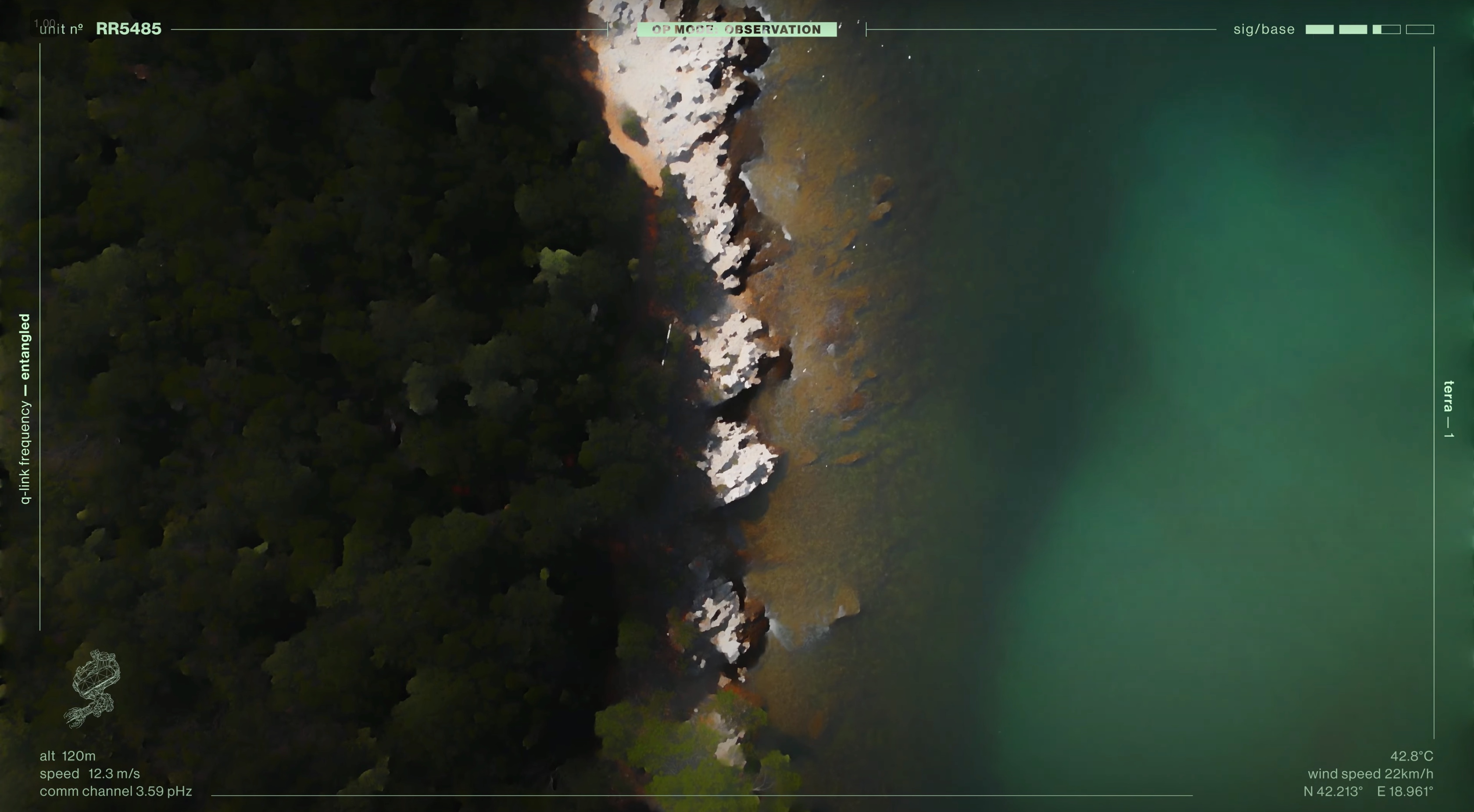
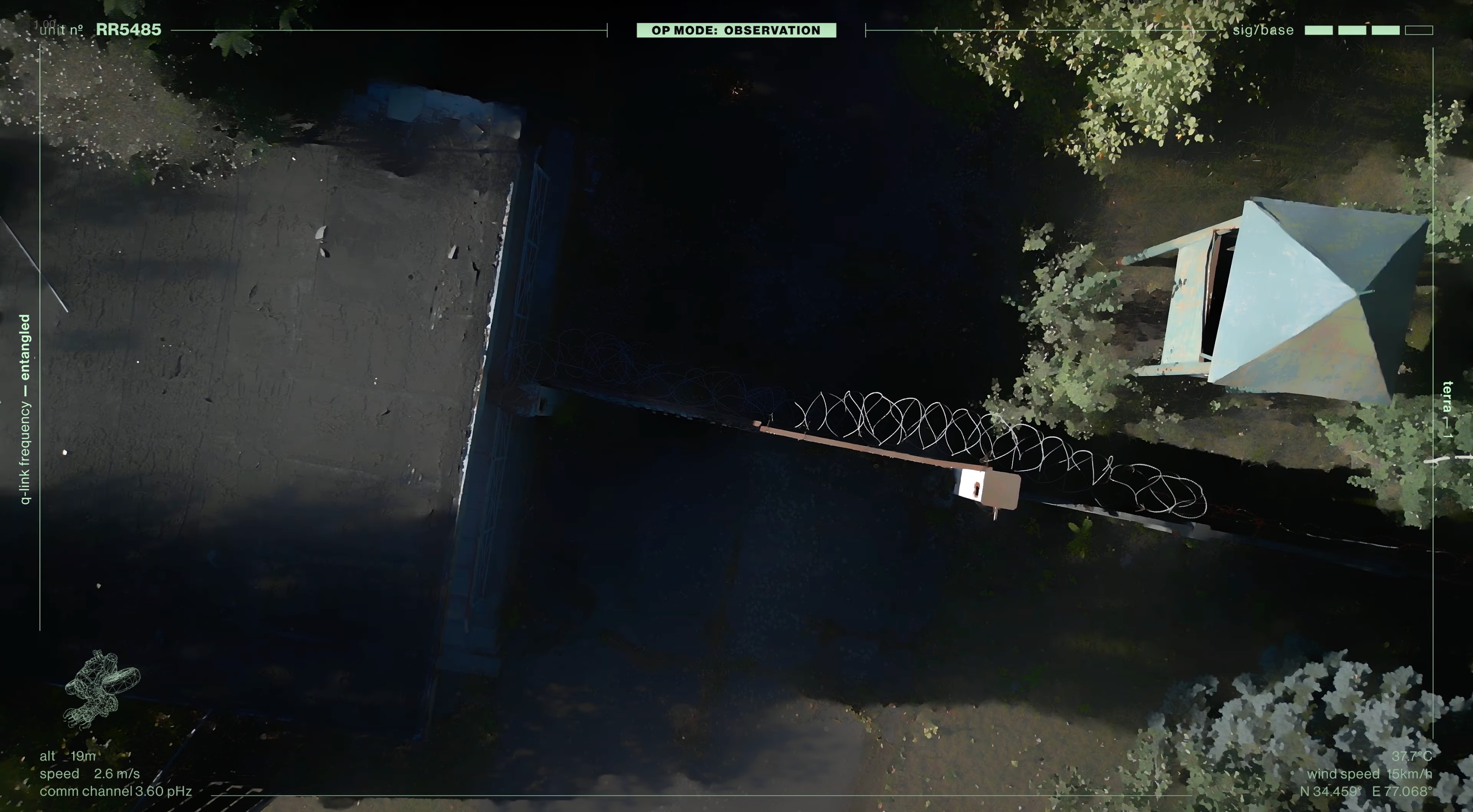
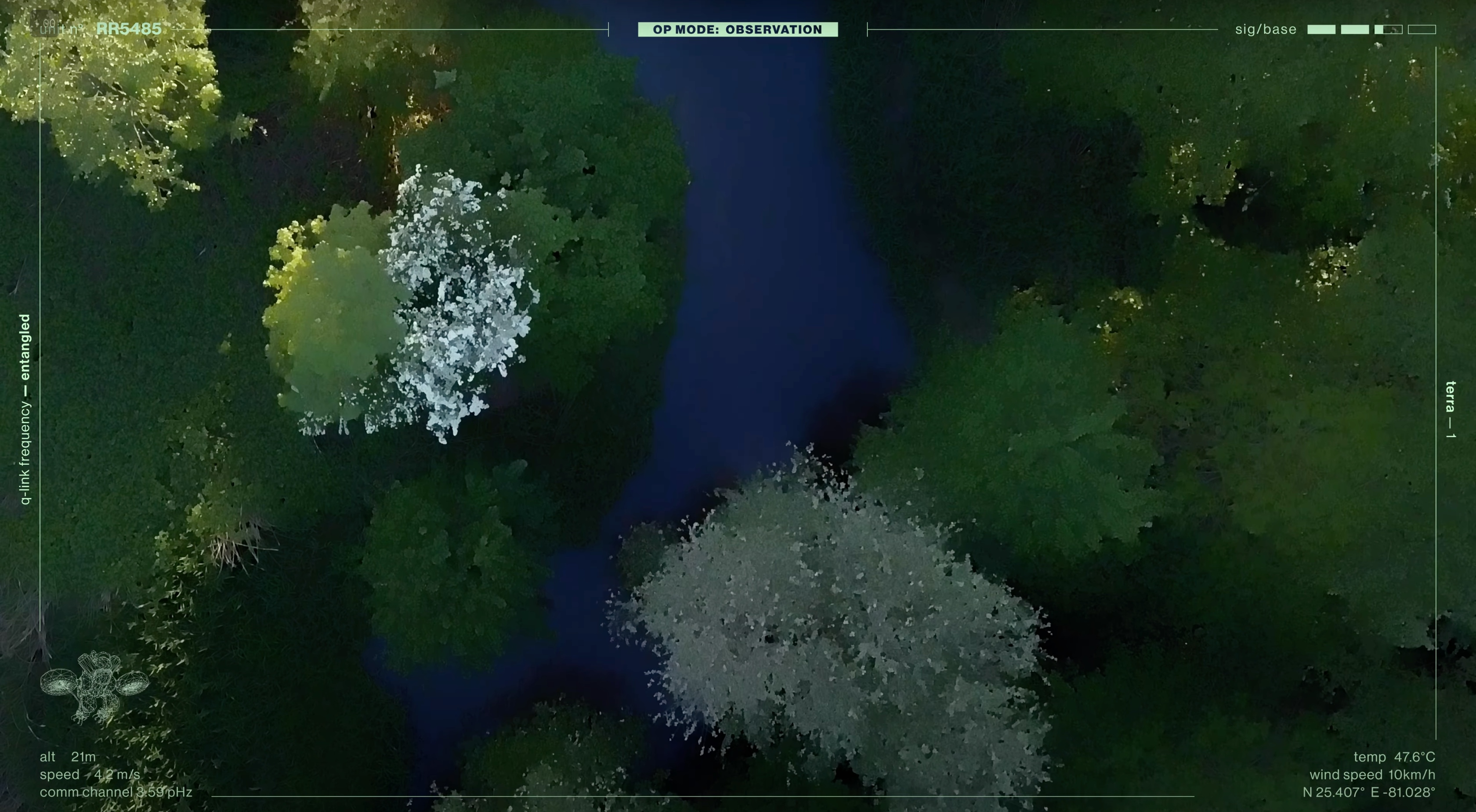
Boundary scans where tree cover meets water and rock formations.
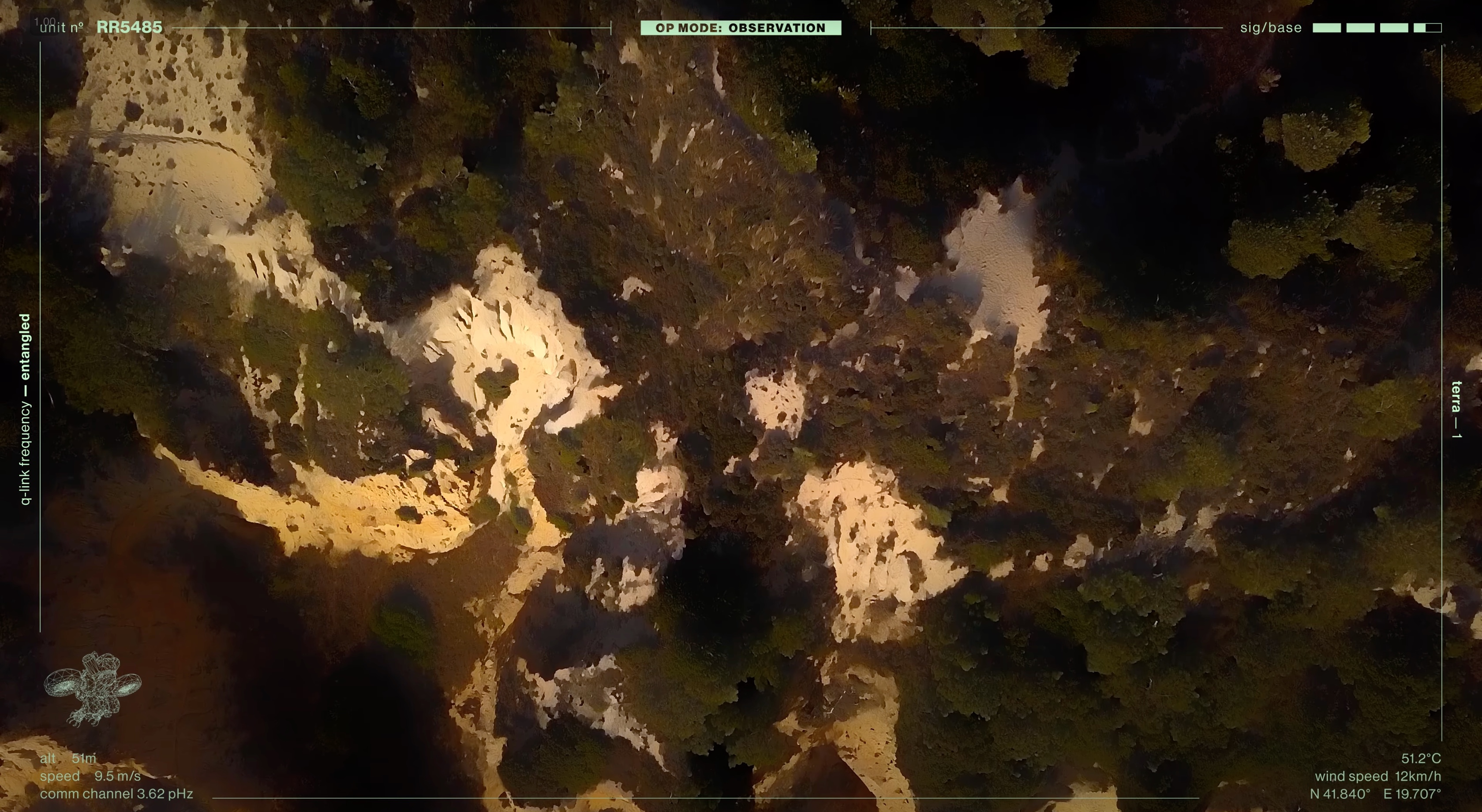
Detailed terrain capture through dense and uneven natural coverage.
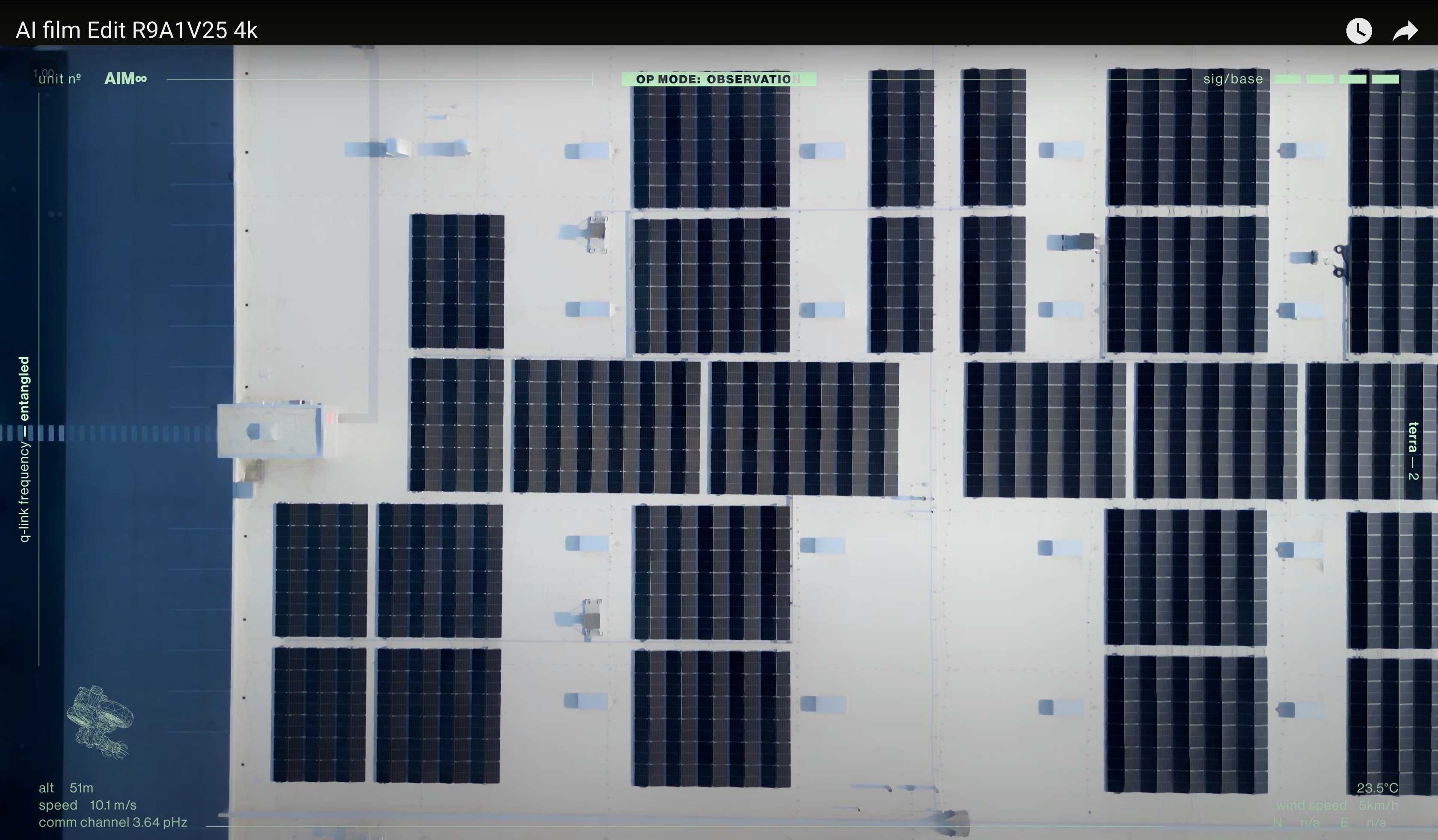
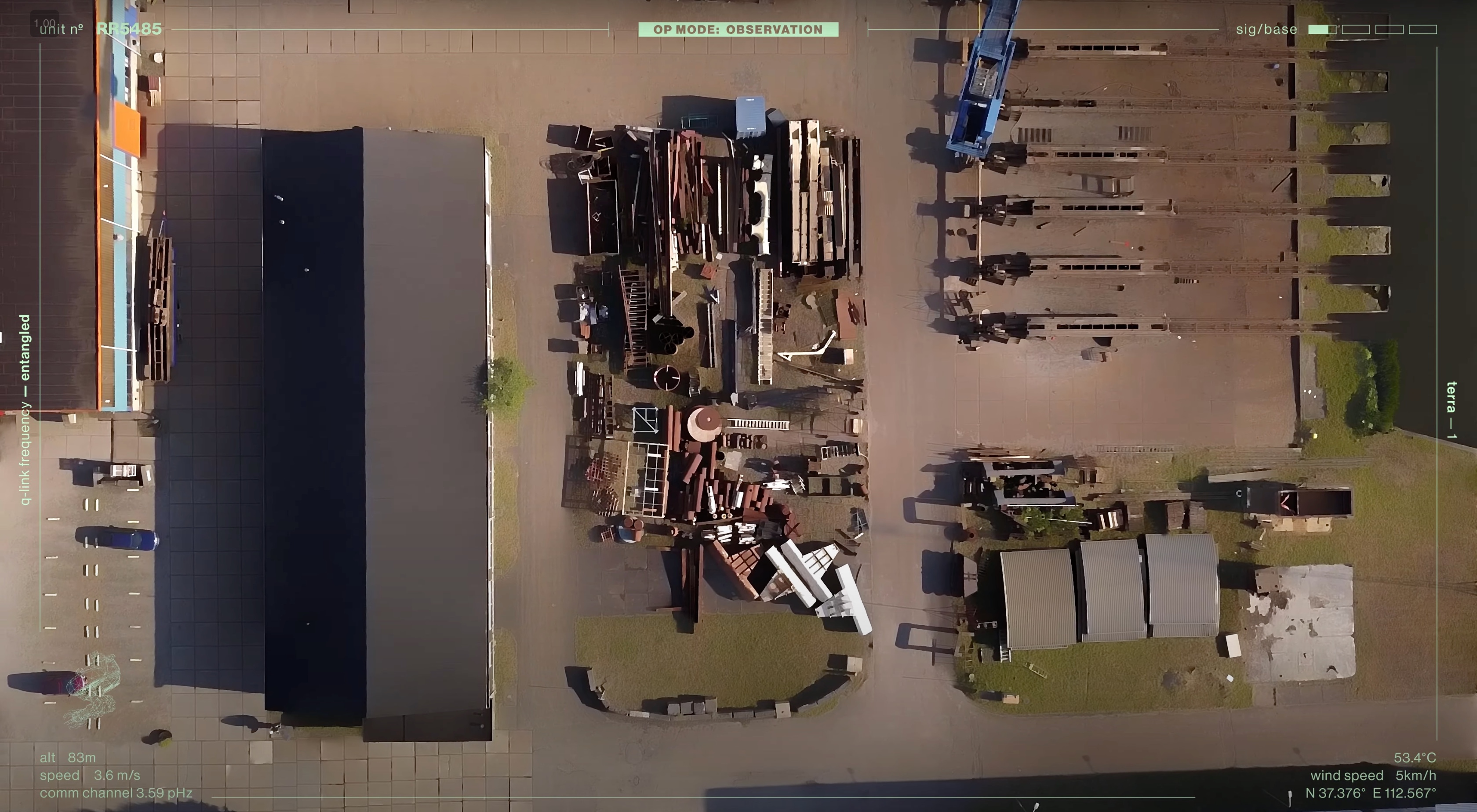
Industrial and extraction site review from consistent aerial angles.
User Experience
Users can rely on R9A1V25 for hands-off collection, reliable performance, and repeatable visual coverage without deep technical operation.
The interface supports fast deployment for film teams, researchers, surveyors, and operators who need aerial footage organized into a coherent visual story.